JC Surveys was founded by Jannie Conradie in 2017. With 13 years previous experience.
Whilst directing his own company, he was also an Operation Manager for Open Ground Recourses, amongst many other projects. He is experienced in the use of the GPR, ERT, Gravity, MASW and Seismic Refraction geophysical methods, as well as the use of RTK GPS systems and total stations for land surveying. His main responsibilities are surveying, seismic data acquisition, and project management.
We are a Pretoria based company to full fill all your survey needs.
Our Purpose
Survey data acquisition, processing, interpretation,quality control and reporting for projects in Southern Africa.
Extensive experience (more than 16 years) in geophysics and surveying in civil construction, mining and cadastral as well as for the architectural industry.
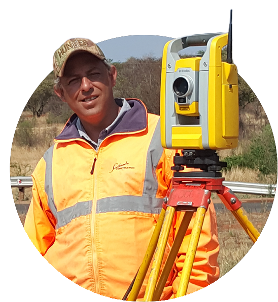
Jannie Condradie
CEO
our Clients
our goal is to have client relationships that last for a lifetime
0
Projects Completed
0+
Clients serviced
our Services
The core values of our firm are integrity and transparency
We always aim for complete customer satisfaction and ultimate quality control of all our services.
Rentals
We have various rentals also available.
Contact us for any and all survey needs
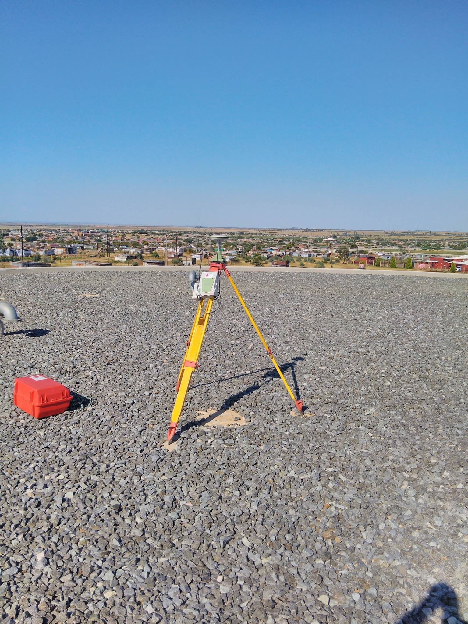
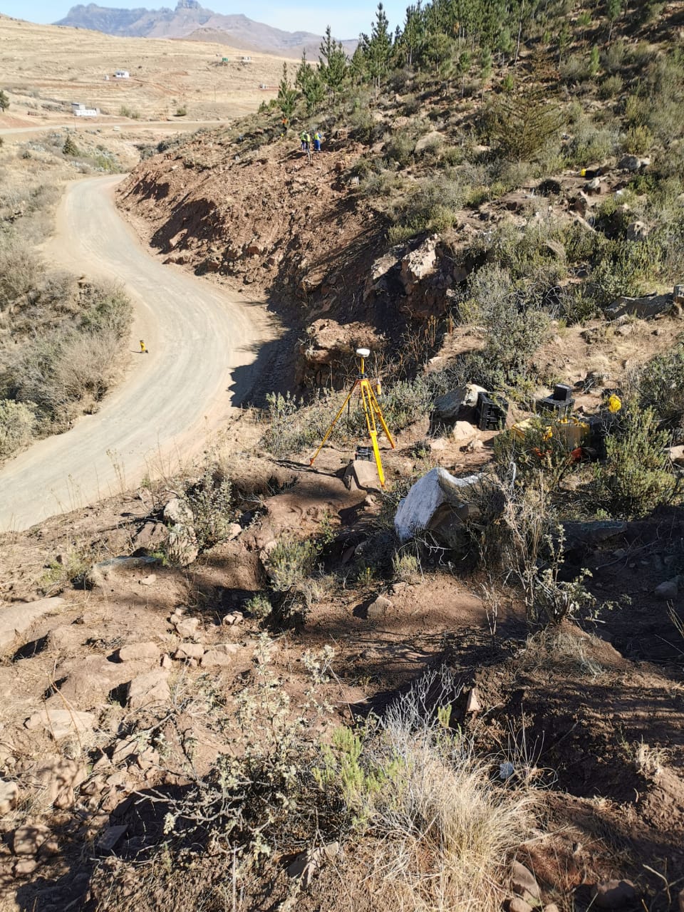
Topographic Surveys
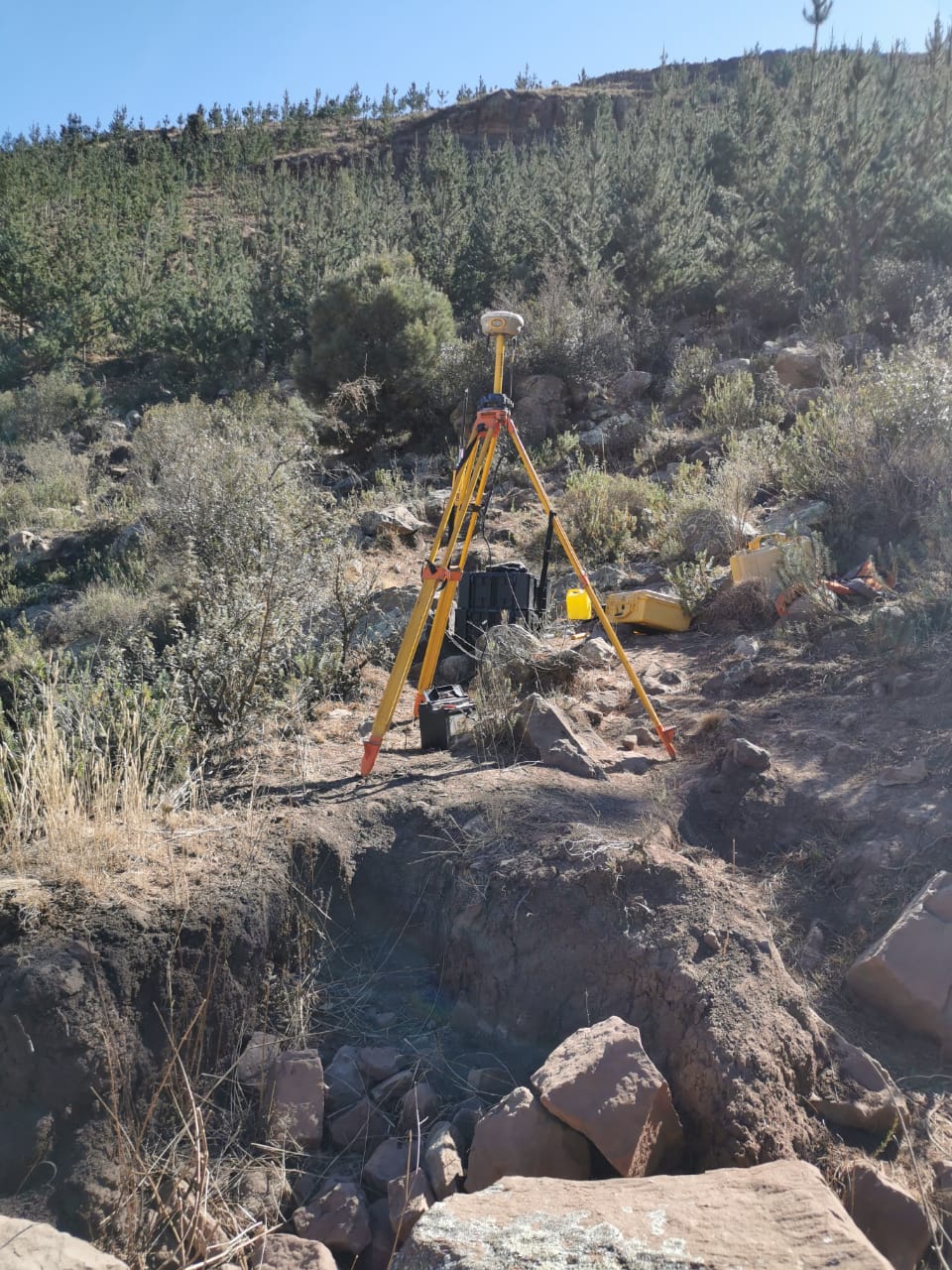
The purpose of a topographic survey is to gather spatial information relating to the site (natural and man-made land features). This can often be related to national Ordnance Survey grid and datum information (often using GPS) and is surveyed by point. It is typically accepted that points are positioned in three dimensions which facilitates ground modelling and visualisations to be produced from the topographical survey.
Section Titles
Sectional Title surveys involves the determination of the property beacons, positioning of the buildings relative to the property boundaries and the measurement and determining of the median line of each unit, which defines the extent of each section and exclusive use area within the scheme.
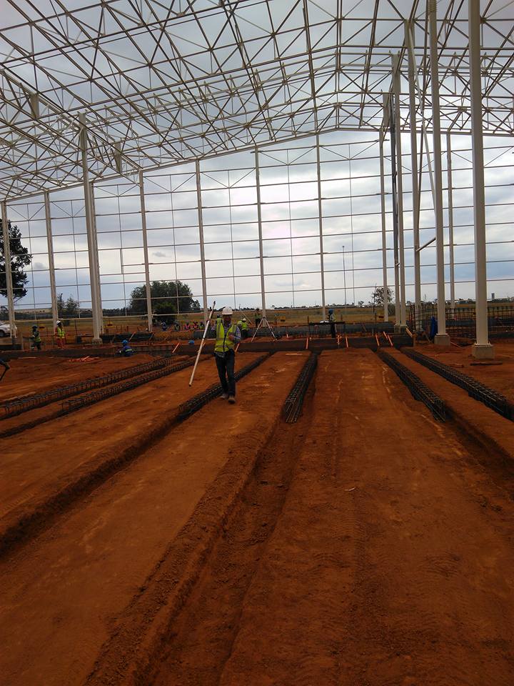
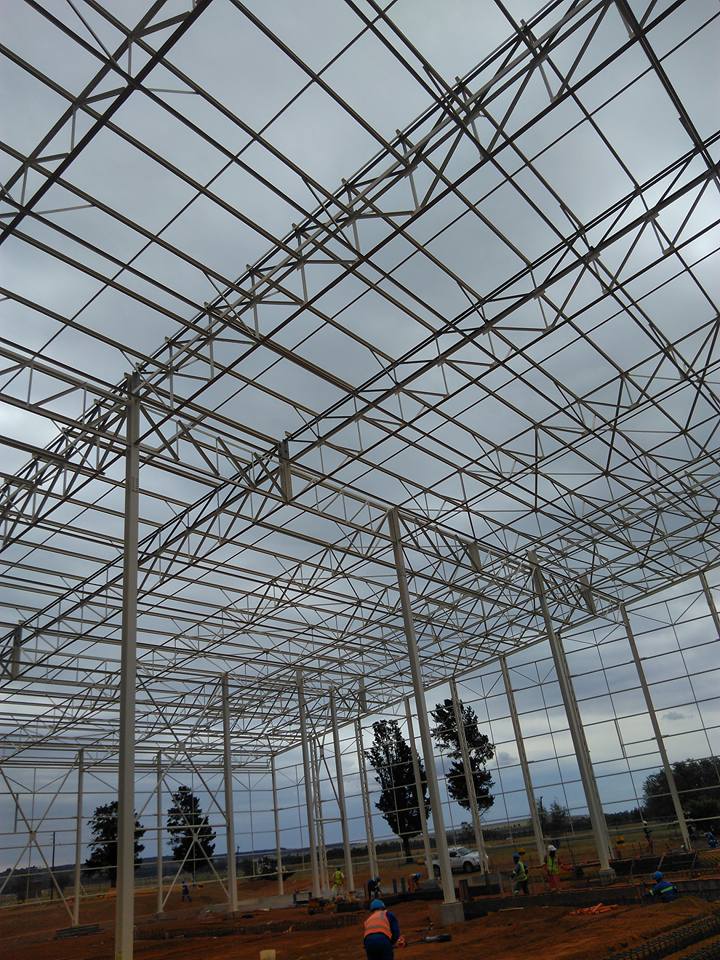
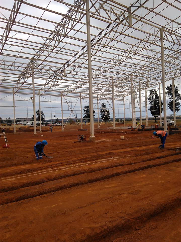
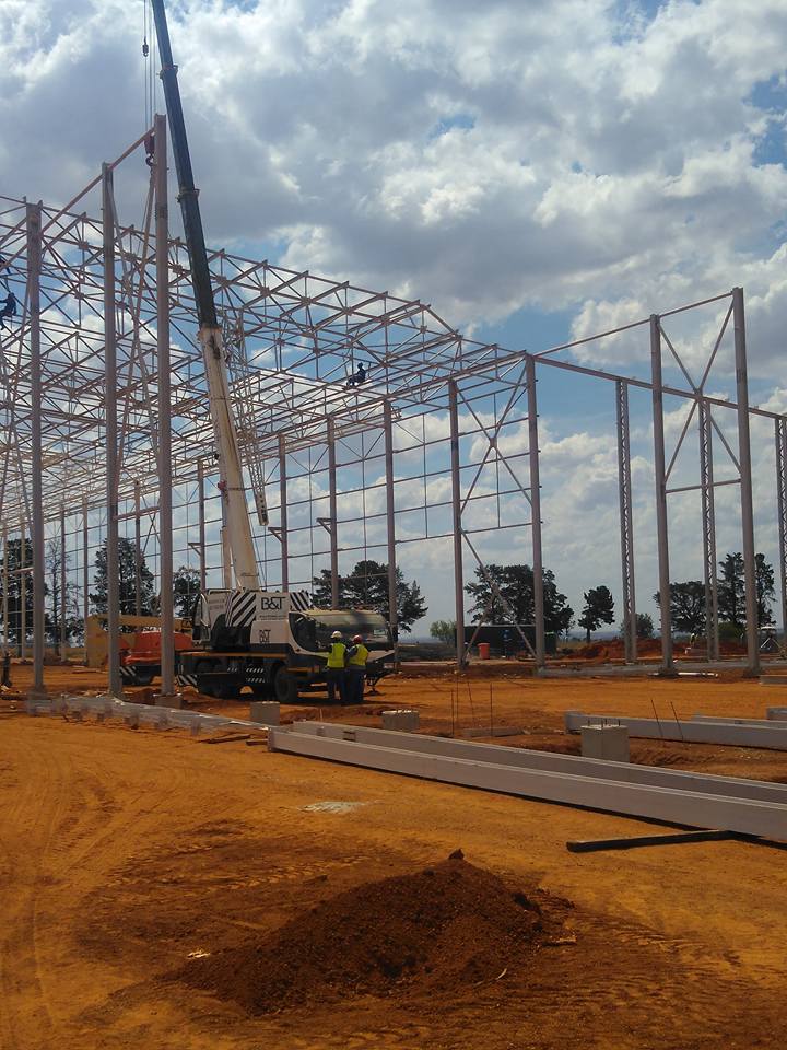
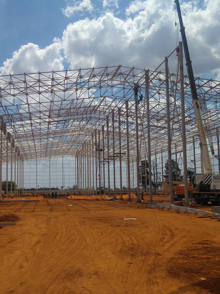
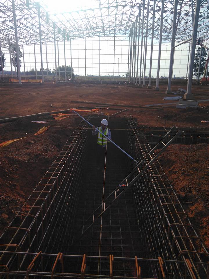
Engineering Surveys
Engineering surveying is defined as those activities involved in the planning and execution of surveys for the location, design, construction, operation, and maintenance of civil and other engineered projects.
Cadastral Surveys
Cadastral surveying is the sub-field of cadastre and surveying that specialises in the establishment and re-establishment of real property boundaries
Underground Utility Scan
Through a combination of the various Ground Penetrating Radar units and the cable locator, it is possible to scan virtually any type of landscape, reducing the risk of damaging services during intrusive works, saving both time and money.
3D Scanning
3D Laser Scanning is a non-contact, non-destructive technology that digitally captures the shape of physical objects using a line of laser light. 3D laser scanners create “point clouds” of data from the surface of an object.
recent projects
2023
Congo - Kamoa Copper SA MIne
Surveyor for DRA. Survey data acquisition, processing, interpretation,quality control and reporting for projects in Congo.
2017
Current: JC Surveys (Senior Surveyor & Director)
Survey consultant in environmental,engineering and survey disciplines.
Survey data acquisition,processing, interpretation,quality control and reporting for projects in Southern Africa.
2022
Zimbabwe Anglo American
ERT, Seismic Refraction and MASW methods to map subsurface geology and identify depth to bedrock for proposed bridge upgrade, road widening and quarries. Seismic data acquisition and Operations Management.
2021
(In Progress): Anglo American Shear Wave Velocity Measurements
MASW data acquisition and Operations Management for a total of four mines.
2021
(In Progress): SANRAL N2, R36 and R574 National Road upgrade.
GPS, ERT, Seismic Refraction and MASW methods to map subsurface geology and identify depth to bedrock for proposed bridge upgrade, road widening and quarries. Seismic data acquisition and Operations Management
2021
Lesotho Highlands Water Project: Katse Lake Tap Area Geophysics.
Geophysical investigation at the tap area comprising a lacustrine and land based electrical resistivity tomography (ERT) and ground penetrating radar (GPR) survey. The survey involved the use of geophysical techniques at the tap area to map subsurface geology and potential structural features. Main responsibilities include specialized marine cable deployment, GPS, ERT measurements and Operations Management.
our team
The Team Behind JC Surveys
We are very proud to have recently expanded our workforce into THREE teams.


